
Neighborhood Safety Checker
Get a clear, location-based safety overview using public data, recent incident patterns, and practical context for U.S. neighborhoods.
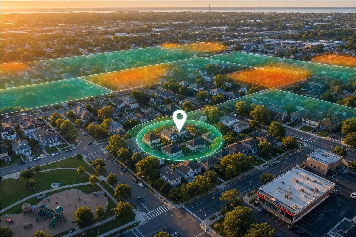
Neighborhood Safety Checker
Get a clearer view of local public safety data
A Neighborhood Safety Checker can make local research much easier when you're comparing places to live, planning a move, or simply trying to understand what’s been reported in an area. Instead of jumping between city dashboards, police logs, and open data portals, you can search by address, ZIP code, city and state, or neighborhood name and see a practical summary in one place.
What the tool shows
This neighborhood safety lookup focuses on publicly available information, including recent incident categories, broader safety indicators, and location context when supported. If a city doesn’t publish exact neighborhood boundaries, the tool uses the nearest available geography and labels it clearly so the results are easier to interpret. Date ranges are shown with the data, which matters because reporting periods and update schedules can vary.
Why context matters
A neighborhood safety checker is most useful when it stays factual. That means no absolute claims, no dramatic language, and no one-number verdict on whether an area is "safe." Public records can be incomplete, delayed, or organized differently across jurisdictions. Reviewing several sources, understanding trends over time, and pairing the data with local knowledge gives you a more balanced picture.
FAQs
How accurate is the neighborhood safety information?
The tool is designed to be helpful and transparent, but accuracy depends on the quality, coverage, and update schedule of the public datasets behind each result. Some cities publish detailed incident reports, while others only provide broader area indicators or limited categories. When exact neighborhood boundaries are not available, the tool uses the closest supported geographic area and labels that choice clearly. It’s best used as a starting point for research, not as a final judgment about any location.
Does this tool tell me whether an area is safe or unsafe?
No. It does not make absolute safety claims, ratings, or guarantees. Instead, it summarizes available public safety data in a factual, neutral way so you can review recent patterns, categories, and date ranges for yourself. Safety can vary block by block and change over time, so the smartest approach is to compare multiple sources, check recency, and consider local context alongside the numbers.
What kind of data can I expect to see in the results?
That depends on what is publicly available for the location you search. In many cases, you may see recent incident counts or trends by category, such as property crime, violent incidents, or vehicle-related reports. In other areas, the available information may be broader, such as city-level or district-level indicators rather than neighborhood-specific records. When map-ready location context is supported, the tool can also show the searched area in a format that’s easier to interpret visually.